Aerial capture pays for itself in faster sales, fewer site visits, cleaner records, and risk caught early — and Strata delivers it sharper, faster, and more reliably than anyone.
Aerial photo and video give properties scale, context, and a premium feel — helping them stand out in a crowded feed and move off the market sooner.
Real estate plans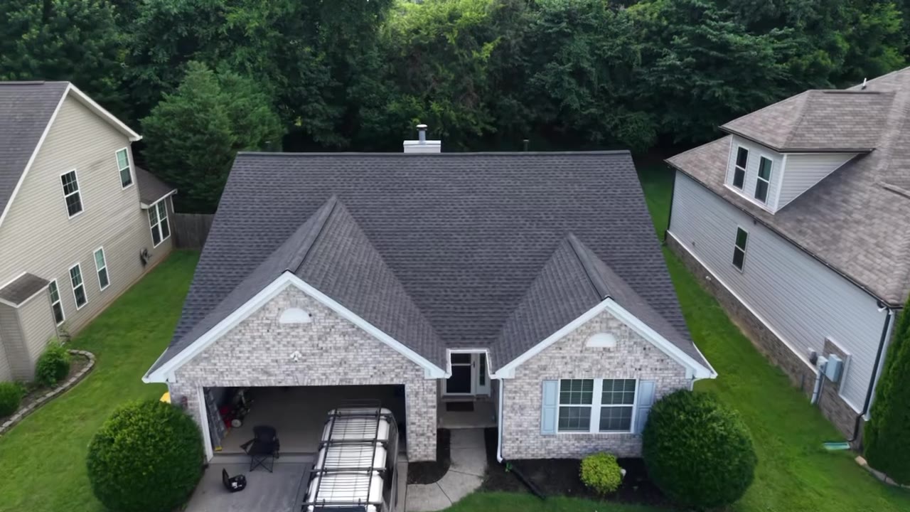
Recurring flyovers replace repeat site visits and let owners, GCs, and lenders review progress remotely — saving hours and travel every single week.
Construction plans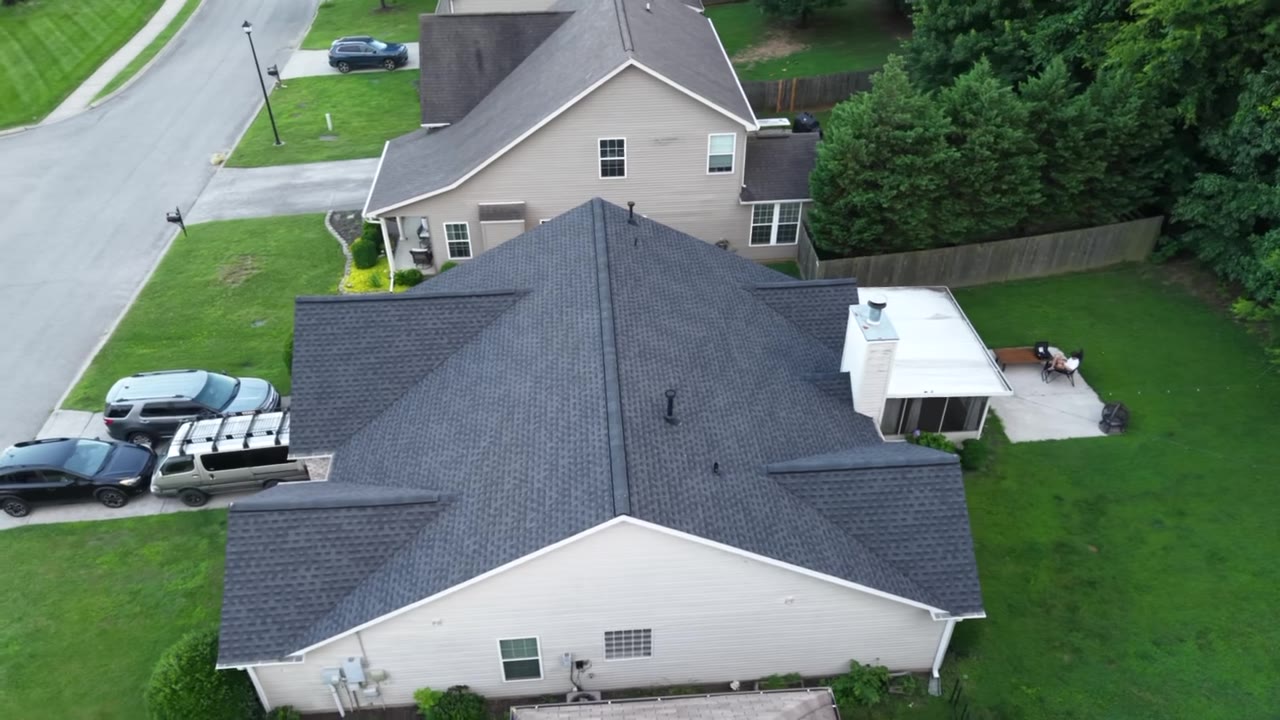
High-resolution inspection surfaces roof, facade, and structural issues without scaffolding or rope teams — turning a safety hazard into a quick, documented flight.
Inspection plans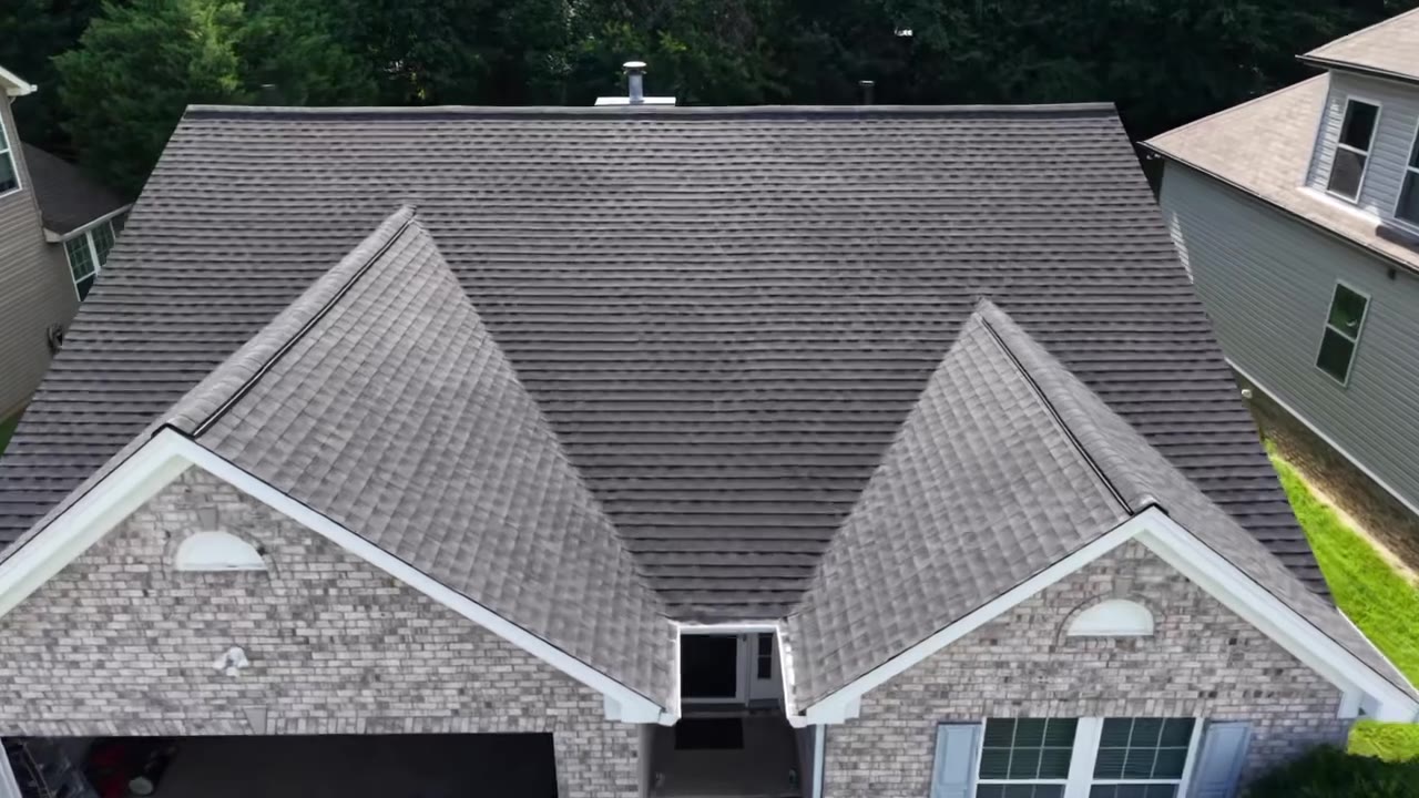
Orthomosaics and volumetrics turn a flight into measurable ground truth — for planning, earthwork verification, and stockpile tracking you can act on.
Mapping plans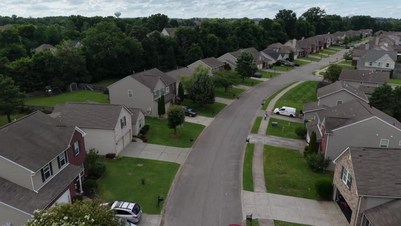
Recurring aerial capture keeps your whole team aligned — and builds a visual record you can stand behind.
Get an instant estimateBuild an estimate in under a minute — we'll handle the rest.