Four service lines, three monthly plans, and à-la-carte add-ons. Configure exactly what you need and get an instant estimate below.
Open one at a time — see exactly what's included without scrolling past the rest.
Cinematic exteriors, lot context, and neighborhood storytelling that pull buyers in and move properties faster.
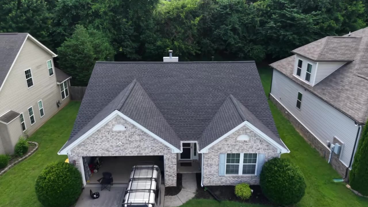
Recurring site flyovers that keep owners, GCs, and lenders aligned — and create a defensible visual record at every stage.

Roofs, facades, towers, and solar arrays inspected safely and in high resolution, surfacing defects before they become failures.
Survey-grade orthomosaics, topographic maps, volumetrics, and 3D models for planning, earthworks, and stockpile tracking.
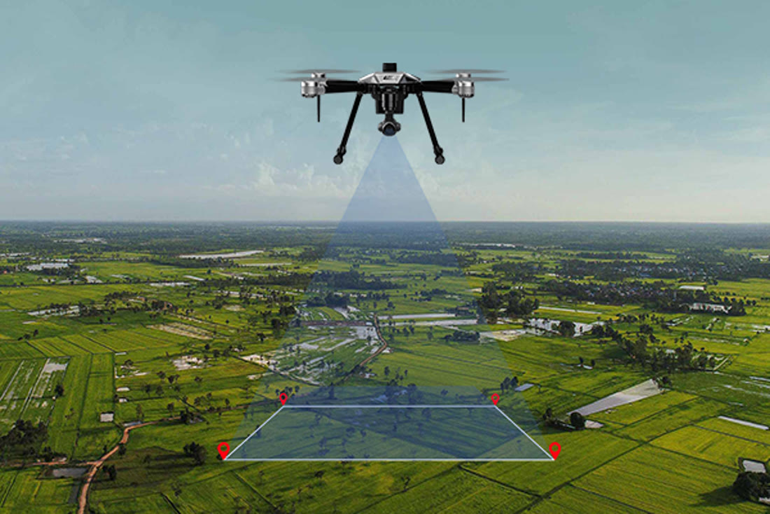
Real captures from recent Strata flights — tap any ▶ to watch the footage.
Residential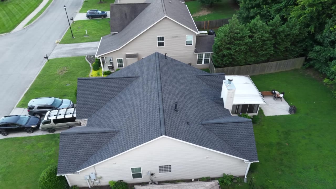 Property
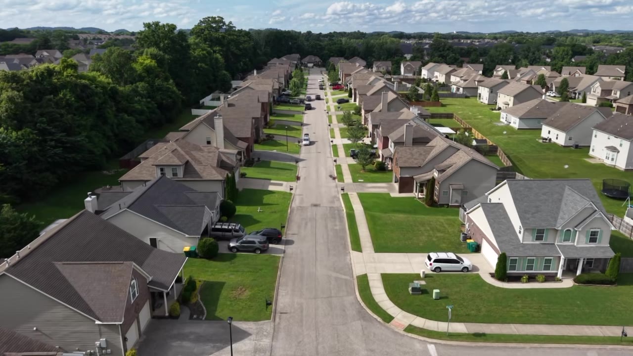 Neighborhood
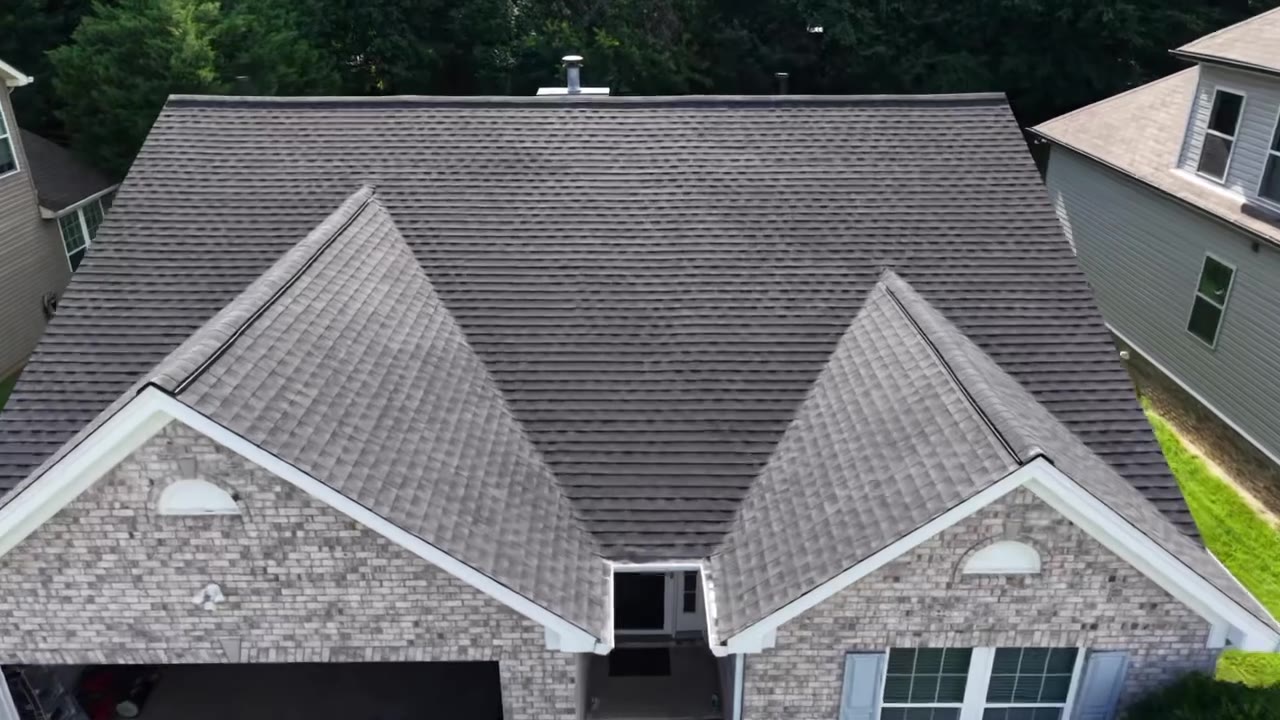 Inspection
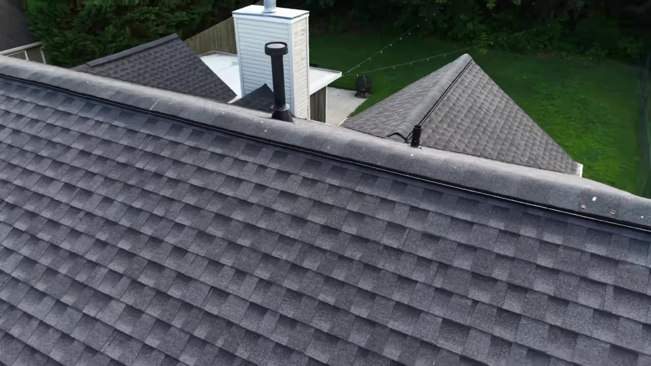 Roof / Structural
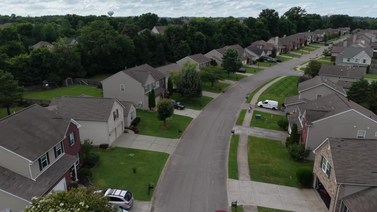 Mapping
Monthly plans keep your per-listing cost low. Switch between photos-only and full production.
Extra listings beyond your plan are always cheaper than one-off pricing. Your exact figure is generated in the estimate below.
A few quick questions reveal your personalized estimate — and a clear picture of the value drone imaging adds to your business, not just a price.
Pick the one closest to your world.
The thing that drags on your results.
Rough is fine — it shapes your estimate.
The more consistent, the lower your cost per shoot.
Picture it already handled.
No wrong answer — it just helps us help you.
Setting yourself apart has a price — and a far bigger payoff.
Takes 30 seconds. We'll email your personalized estimate within minutes.